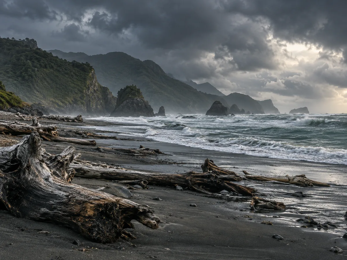
About the West Coast
The West Coast runs the length of the South Island's western edge, squeezed between the Southern Alps and the Tasman Sea, and receives some of the highest rainfall in the country — the mountains catch moisture-laden weather rolling in off the sea, feeding the temperate rainforest that covers much of the region. That same rainfall and glacial history produced Franz Josef and Fox Glaciers, two of the very few glaciers in the world that descend from high alpine terrain almost into temperate rainforest, a dramatic contrast normally separated by far greater distance elsewhere.
Further north, Punakaiki's Pancake Rocks are a stack of heavily eroded limestone formed in thin, stacked layers that genuinely resemble a pile of pancakes, with blowholes that send seawater shooting upward at high tide in rough conditions. The region's gold-rush history (peaking in the 1860s) still shapes small towns like Hokitika, now better known as a centre for pounamu (New Zealand greenstone/jade) carving.
Freedom camping here
Westland, Grey, and Buller District Councils manage their own zones along the coast; the region's low population density relative to its length means freedom camping is generally more available here than on busier parts of the South Island, though weather (rather than crowding) is the main practical constraint — heavy rain and river flooding can close roads with little notice.
Good to know
- Glacier access changes with conditions — both Franz Josef and Fox have retreated significantly in recent decades, and viewing points/walk lengths are adjusted accordingly.
- Sandflies are a genuine, persistent nuisance on much of the Coast — insect repellent is not optional here.
- Fuel stops are more spread out than the North Island; don't let the tank run low between towns.
- Best forGlaciers, rainforest, dramatic coastline
- Signature spotFranz Josef & Fox Glaciers
- SeasonYear-round; wettest region, pack for rain
- Distance from ChristchurchRoughly 4–5 hours via Arthur's Pass